
This is an approach to digitize the resource maps that the
social mobilizers have to prepare. I have divide this tutorial in 4 parts
- Exporting ESRI shp file to Google earth KMZ file
- Locating points in Google earth, plotting them and saving to KML
- Converting KML to ESRI shp file
- Importing newly created shape file and convert to required projection system, overlaying data with other layers and prepare final map
Exporting ESRI shp file to Google earth KMZ
file
1 As we are doing this for a VDC let us first separate a VDC from the district
map.
·
Select the VDC that you want to separate

·
Right click the layer as shown in the picture
below
selection
-> create layer from selected feature

·
You will get a new layer with just the VDC boundary that is required for us

You will get a new layer with just the VDC boundary that is required for us
After the VDC boundary is
separated let us now project to the WGS coordinate system
·
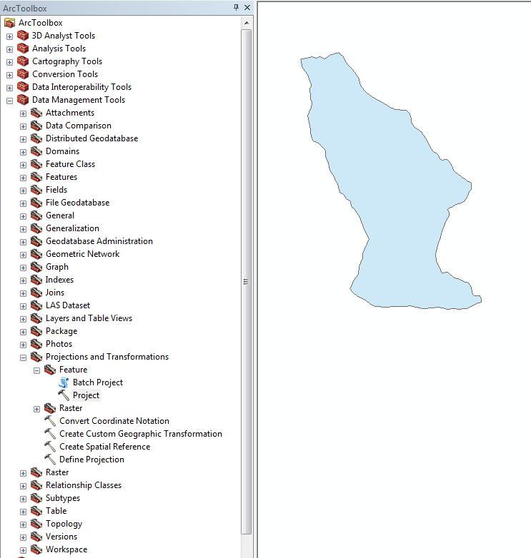
Go to ArcToolBox
-> Projection and Transformation -> Feature -> Project


·
Select the parameters as shown in the picture
below
Click on the Output coordinate system tab to get the following window and select the WGS 1984 coordinate system as output coordinate system
·
Click OK and your final Project window should have parameters as shown in picture below.
Now you will get a projected file
which we need to convert to KMZ/ KML for Google earth to display
3
Converting the newly created layer file to KMZ file (KMZ is zipped KML file format)
Converting the newly created layer file to KMZ file (KMZ is zipped KML file format)
·
Go to ArcToolBox -> Conversion Tool ->
ToKML -> Layer to KML
Set the parameters as shown in the picture
and click ok to get the KMZ file
4. Open the newly created KMZ file from the location you previously saved
(Requires Google earth)
The boundary will look as shown in the figure above hence to remove the fill following steps needs to be executed.
·
Right click the recently loaded KMZ file and go
to properties
·
Set the properties as shown below
Now you will have a clear outlined boundary.
In next tutorial we shall discuss how to plot the point on Google earth, export it to ArcGIS and make VDC level resource map.
0 comments:
Post a Comment